
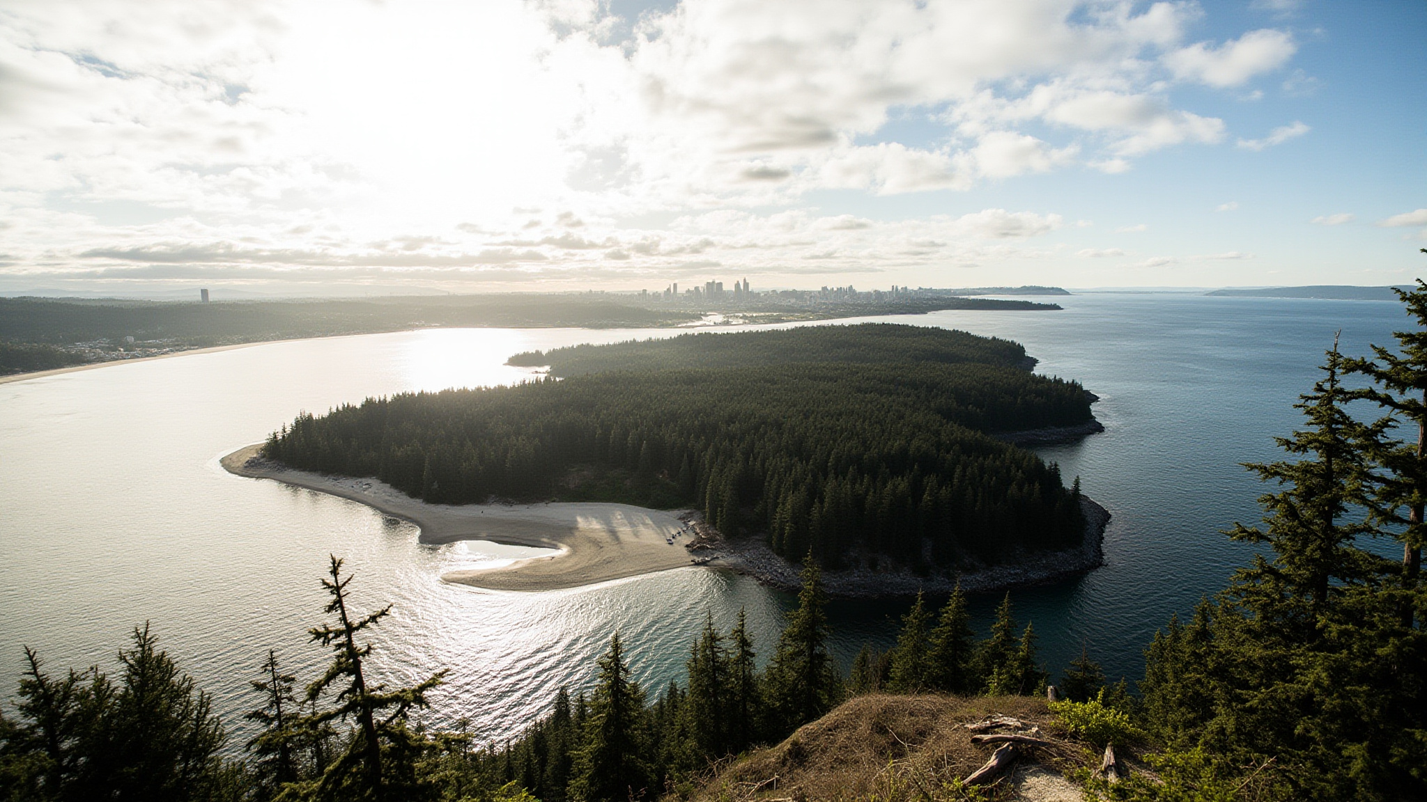
Stanley Park occupies the entire western tip of the downtown Vancouver peninsula, a 405-hectare green mass that juts into the meeting point of Burrard Inlet and English Bay. It is the third-largest urban park in Canada, and unlike most parks that description might evoke, it contains genuinely old forest, rocky cliffs, sandy beaches, a tidal lagoon, and one of the great continuous seawall paths in the world. The park is connected to downtown by a narrow land bridge at its southeast corner near the Georgia Street entrance, making it accessible on foot or by bike within fifteen minutes of most downtown hotels.
The park was established as a public reserve in 1886, the same year Vancouver was incorporated as a city. The dense second-growth forest that covers most of the interior was never cleared for agriculture, and several stands of very large Douglas fir, western red cedar, and Sitka spruce persist near the park’s interior trails. The Seawall that rings the park’s perimeter took decades to complete and has become one of Vancouver’s defining public spaces, used by cyclists, runners, inline skaters, and walkers every day of the year regardless of weather.
The Stanley Park Seawall
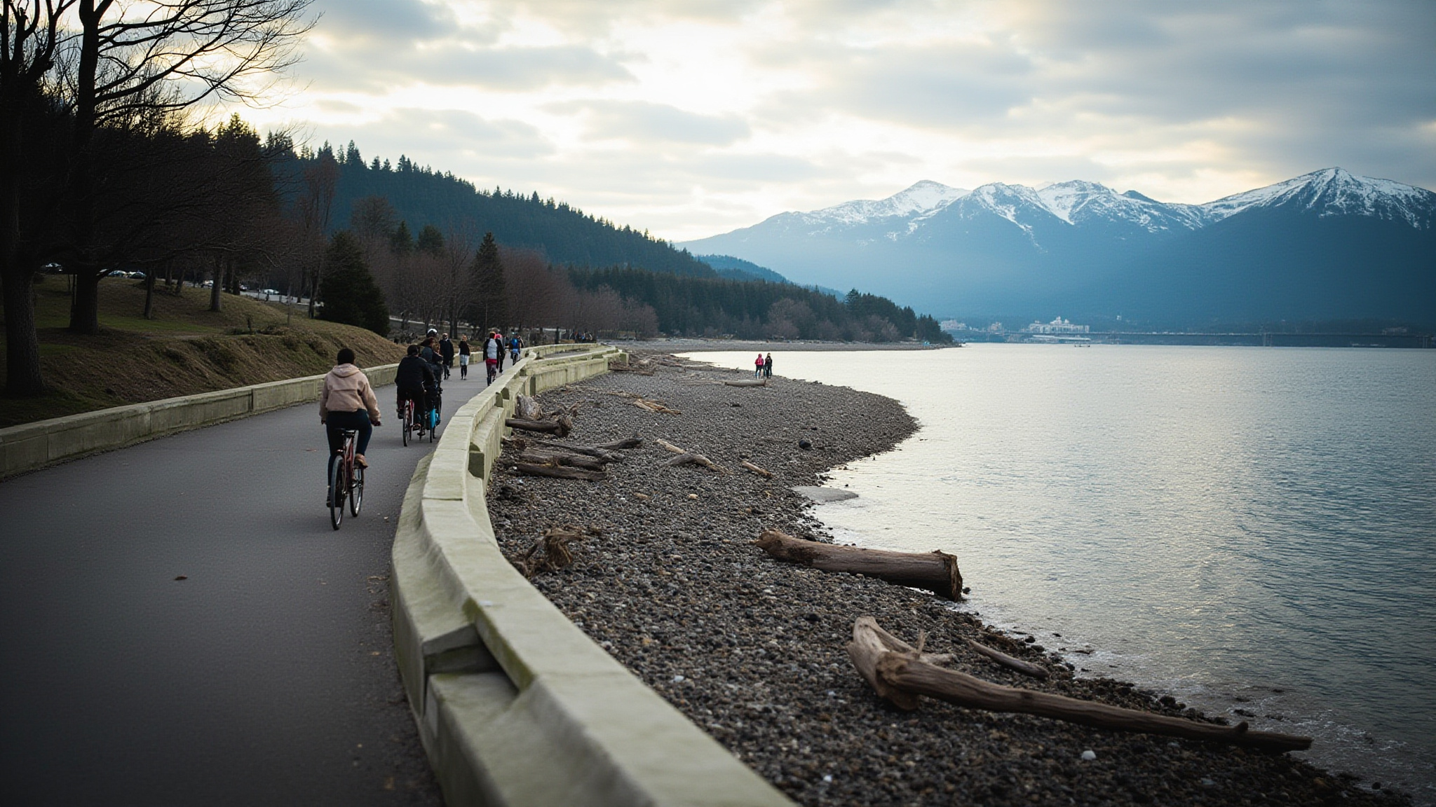
The Seawall loop around Stanley Park measures approximately nine kilometres and connects at both ends to the broader Seaside Greenway that continues around False Creek toward Kitsilano. The path is paved and divided, with a designated cycling lane and a walking lane separated by a painted line. The convention is to travel counterclockwise when cycling the full loop, which means heading west from the Georgia Street entrance along the English Bay side before rounding Prospect Point and returning along the Burrard Inlet side.
Bicycle rentals are available at several shops clustered on Denman Street at the park’s south entrance, a five-minute walk from the Seawall itself. Rental bikes typically come with a helmet, and the shops are well used to equipping visitors who have never cycled the loop. The full nine-kilometre loop takes between one and two hours by bike depending on pace and how many stops you make for views or coffee. On foot, walking the full perimeter takes roughly three hours at a moderate pace.
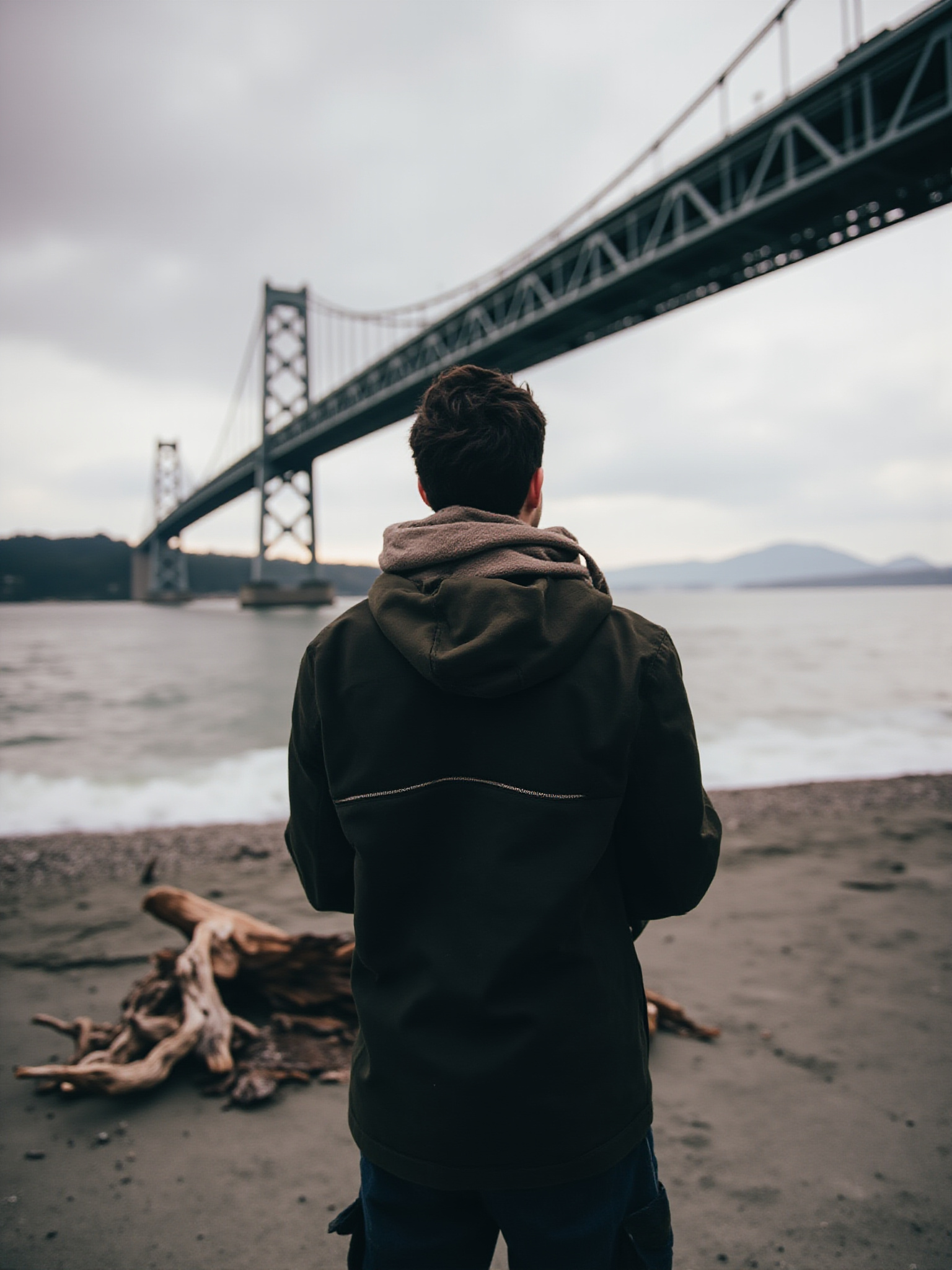
The views from the Seawall change dramatically as you move around the park’s perimeter. The English Bay side offers open ocean views toward Vancouver Island and the Olympic Mountains in Washington State on clear days. The north side along Burrard Inlet faces the North Shore mountains, with Grouse Mountain and Mount Seymour visible above the treeline. The Seawall passes under the Lions Gate Bridge at Prospect Point, one of the most dramatic moments on the route.
Brockton Point, Totem Poles, and Interior Landmarks
Brockton Point sits on the Burrard Inlet side of the park roughly halfway around the Seawall loop from the Georgia Street entrance. A cluster of totem poles stands here in a clearing with views of the inlet, representing several First Nations of the BC coast. The poles are among the most photographed subjects in Vancouver, and the area includes interpretation panels explaining their origins and the nations that carved them. Several of the poles are replicas of originals now held in museums for preservation.
Lost Lagoon is a tidal lagoon at the park’s southeast corner that was cut off from English Bay by the construction of the causeway in the early twentieth century. It now functions as a freshwater lake and nature sanctuary, home to Canada geese, trumpeter swans, great blue herons, and various duck species year-round. The path around Lost Lagoon is flat and well-shaded, making it a popular choice for an easy walk away from the Seawall crowds. The Nature House on the lagoon’s north shore provides information about the park’s ecology.
Prospect Point, at the park’s northernmost tip, is the highest point on the Seawall and the closest approach to the Lions Gate Bridge from the park itself. A viewpoint with a railing looks directly at the bridge span and across the Burrard Inlet toward North Vancouver. The area is also a known gathering point for bald eagles, particularly in spring and fall when they gather to watch for fish in the inlet below. A concession stand at Prospect Point operates through the summer months.
Second Beach and Third Beach
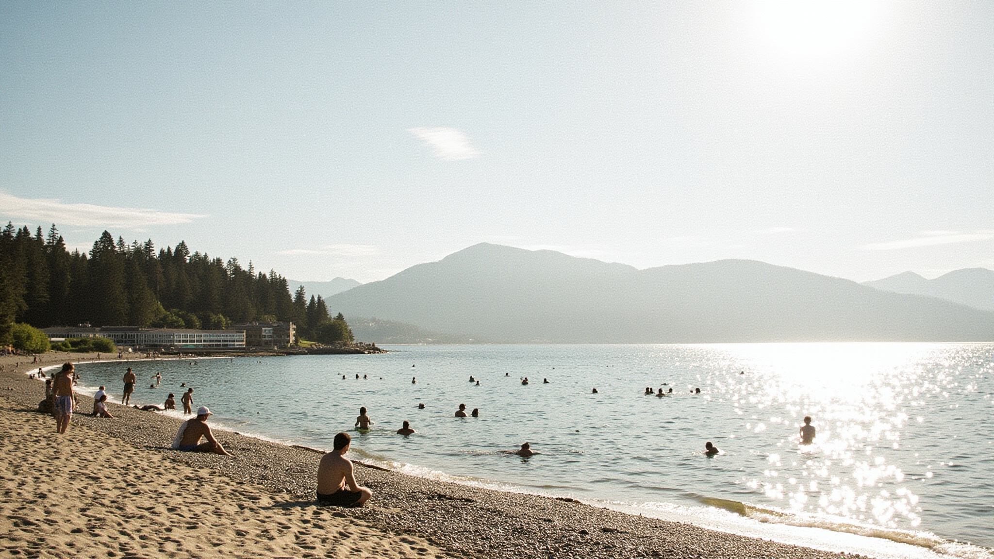
Second Beach is located on the English Bay side of the park roughly two kilometres from the Georgia Street entrance. It is the larger and more developed of the park’s two main swimming beaches, with a wide sandy shoreline, a concession, picnic tables, and the Second Beach outdoor pool. The pool is a 50-metre outdoor heated pool that is open from late May through Labour Day, operated by the Vancouver Park Board. It is one of the few public outdoor pools in the city and draws families and lap swimmers throughout the summer.
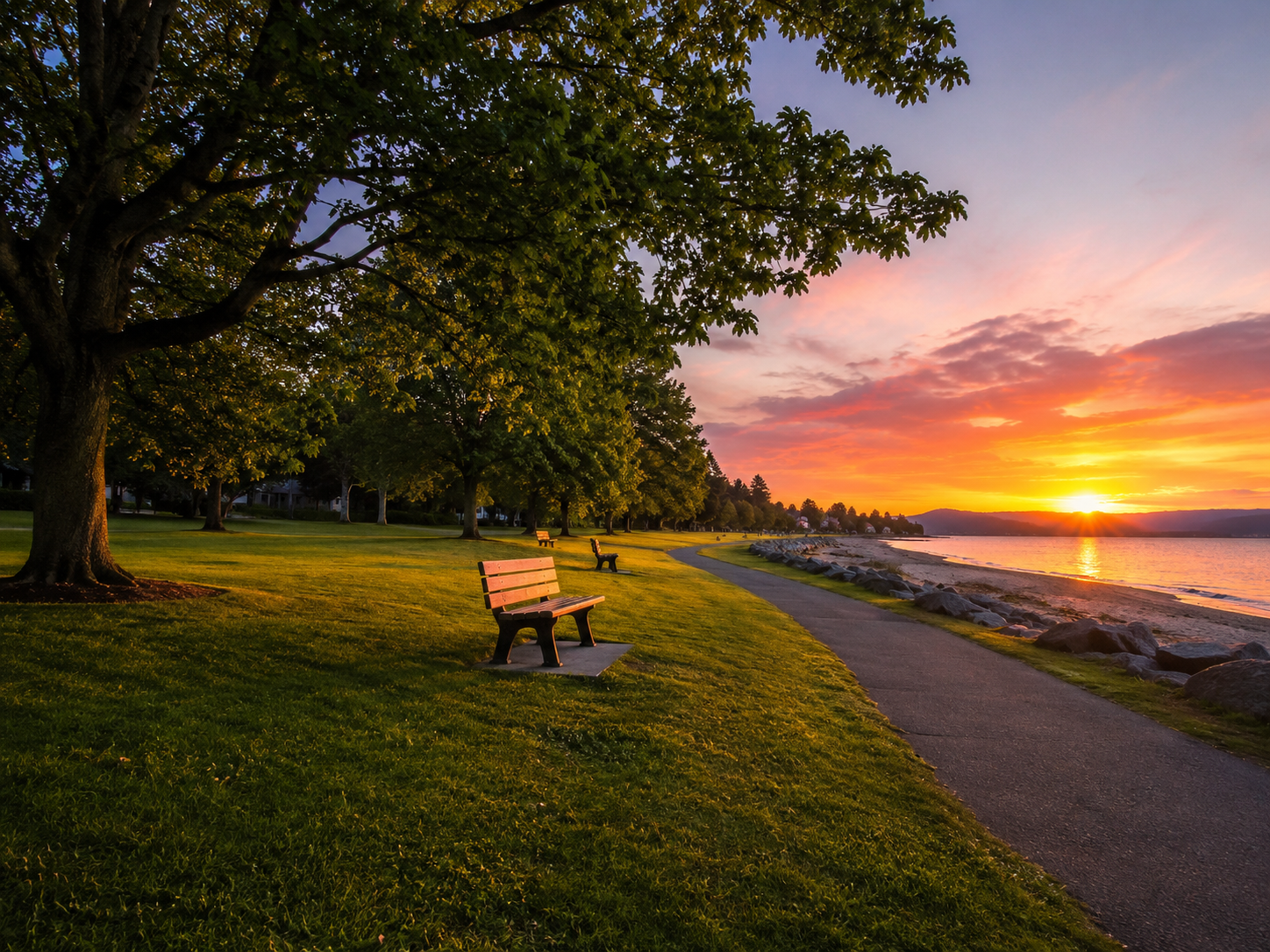
Third Beach sits further around the English Bay side toward Prospect Point and has a quieter, less developed character than Second Beach. The beach faces west, which makes it one of the best locations in the city for watching the sunset over English Bay. It is popular with locals who want to avoid the busier areas of the park, and the walk to reach it along the Seawall from the park entrance passes through some of the most scenic sections of the route. Parking is available at a small lot accessed from Stanley Park Drive.
Water temperatures at both beaches peak in late July and August, reaching about 18 to 20 degrees Celsius in warm years. The beaches face English Bay rather than the open ocean, which makes the water somewhat calmer than Jericho or Spanish Banks further along the shoreline. Both beaches have washroom facilities and lifeguards on duty during the summer season, and both are dog-friendly outside of designated swimming hours.
Wildlife and Forest in the Park Interior
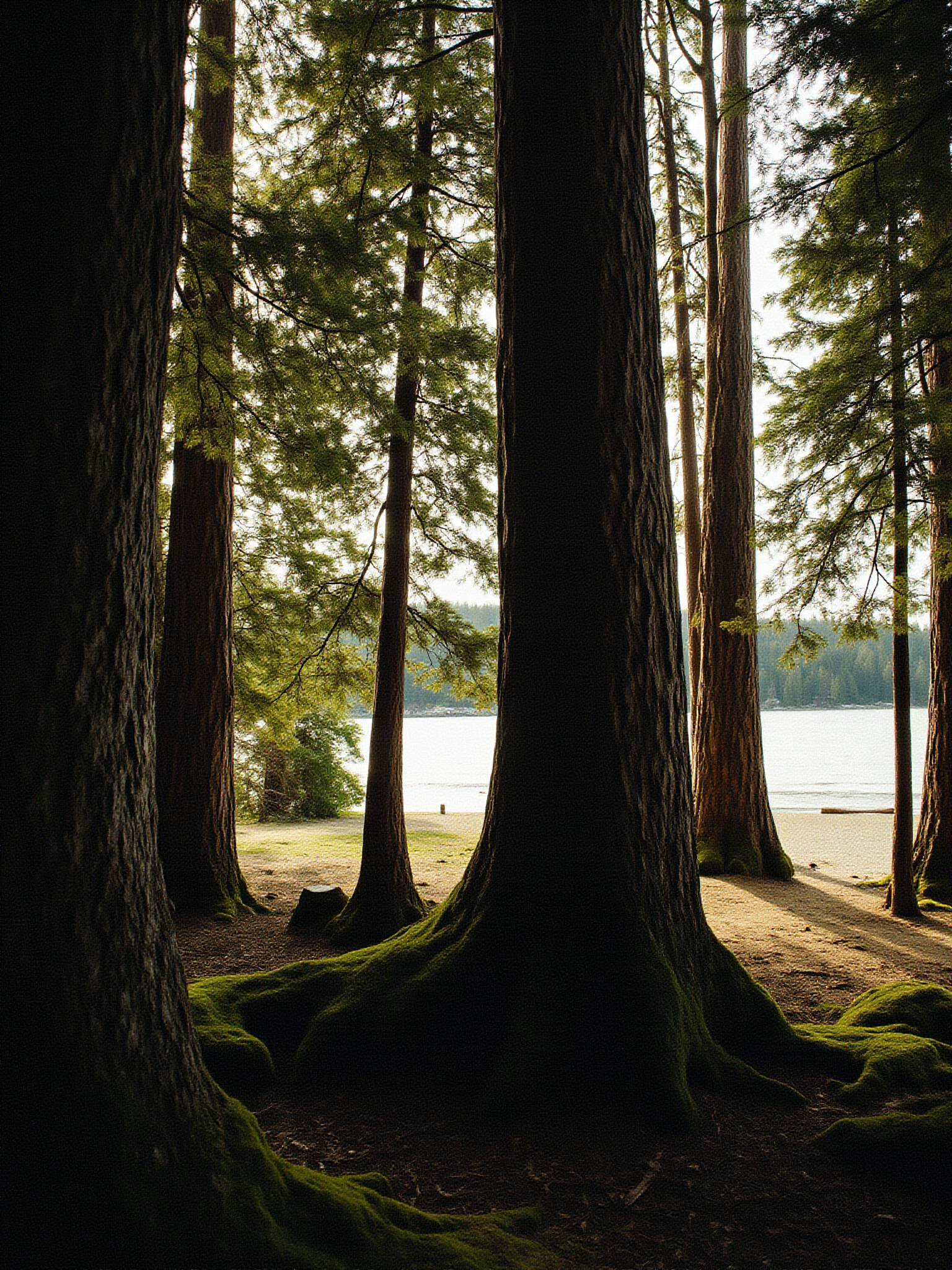
The forest that covers most of Stanley Park’s interior is primarily second growth, with patches of old-growth trees near the park’s western and northern edges. The dominant species are Douglas fir, western red cedar, and Sitka spruce, with red alder colonizing the wetter areas near Beaver Lake and the lagoons. Several of the park’s largest trees are interpretively marked along Rawlings Trail and other interior paths. The park’s interior trail network is less visited than the Seawall and provides a genuinely quiet forest experience within a kilometre of downtown.
A great blue heron nesting colony established itself in the tall trees near Beaver Lake in the 1920s and remains one of the largest urban heron colonies in North America. The birds nest communally from February through July, and the noise from an active colony is considerable. Beaver Lake itself is a small interior pond accessible from several trails, inhabited by painted turtles, wood ducks, and the occasional river otter. Raccoons are abundant throughout the park and are well habituated to humans, which means they are bold and should not be fed.
Bald eagles are present in the park year-round but are most visible in winter when salmon are running in the streams of the North Shore across the inlet. Varied thrush, a secretive orange-and-grey bird of the Pacific rainforest understory, is heard more often than seen in the park’s wet interior sections. Coyotes maintain a population in the park and are occasionally seen near the Seawall, particularly at dawn and dusk. The park has a permanent coyote coexistence program and posts signs reminding visitors to keep distance and avoid feeding them.
Getting to Stanley Park
The most pleasant way to reach Stanley Park from downtown is on foot or by bicycle along Denman Street, which leads directly to the park’s south entrance and the Seawall. Denman Street is a ten-minute walk from the West End of downtown and passes several coffee shops and bike rental operations useful for stocking up before entering the park. Cycling from Robson and Denman to the park entrance takes about five minutes.
TransLink buses 19 and C21 serve Stanley Park from downtown. The 19 runs along Pender Street and into the park along Stanley Park Drive, stopping at the zoo area and near Prospect Point in summer. The C21 and C23 are community shuttles that operate within the West End and connect to the park entrance. These routes are useful if you want to enter the park without cycling or walking the initial stretch from downtown.
Driving into Stanley Park is possible, with parking lots at the Rose Garden entrance near Georgia Street, near the tennis courts, and at various spots along Stanley Park Drive. Parking fees apply and lots fill early on summer weekends, often before ten in the morning. If you plan to drive, arriving before nine gives the best chance of a spot near your intended destination in the park.
Practical Tips for Visiting Stanley Park
The Seawall cycling loop is one-way by convention, running counterclockwise. Cyclists who go the wrong way create dangerous conflicts on the narrow path. If you only want to cycle part of the loop, the section from the Georgia Street entrance to Brockton Point and back covers the totem poles, the inlet views, and some of the best forest scenery without requiring the full nine-kilometre circuit.
Second Beach pool opens in late May and closes after Labour Day in early September. It fills quickly on hot days, so arriving before noon on a hot summer weekend is advisable. The pool charges a separate admission from the park itself, which is always free to enter.
The park has almost no food service in its interior. The Prospect Point concession and the Second Beach concession are the main options. Bringing food and water is recommended for any visit longer than an hour or two. Several good options for picking up provisions exist on Denman Street just outside the park entrance.
Interior trails can be muddy after rain, which is common from October through May. Trail shoes or waterproof footwear make the interior forest paths significantly more enjoyable in wet conditions. The Seawall itself is always paved and dries quickly.
Questions Often Asked
How long does it take to cycle the Stanley Park Seawall?
The full nine-kilometre Seawall loop typically takes between one and two hours by bike at a relaxed sightseeing pace. Faster cyclists complete it in under an hour. The loop is conventionally ridden counterclockwise.
Is Stanley Park free to enter?
Yes, the park itself is free to enter. The Second Beach outdoor pool charges a separate admission. Parking inside the park has fees and limited availability on summer weekends.
Where can I rent a bike near Stanley Park?
Several bike rental shops operate on Denman Street at the park’s south entrance, roughly a five-minute walk from the Seawall. Rentals typically include a helmet and a lock.
What is the best time to visit Stanley Park?
The park is enjoyable year-round, but June through September offers the warmest weather for beach visits and the most reliable conditions for the Seawall. Early morning on weekday visits avoids the peak crowds on the Seawall and at the beaches.